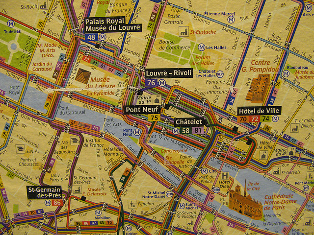
 Paris Metro Map ©AnnieGreenSprings
Vagabondish is reader-supported. When you buy through links on our site, we may earn a small affiliate commission. Read our disclosure.
Dr. David Gissen, an architectural historian and wine buff has designed a graphically interesting way to view the various wine regions of France.
Inspired by the style of metro and subway charts, the Metro Wine Map of France collects France’s various wine regions into “lines” and then designates popular cities as “stops.”
For example, you can
jump on the Bordeaux line at Sauternes and ride north to Bordeaux city, then transfer to the Right Bank line to St. Emilion. Or, take the Left Bank route through Margaux, Moulis, Listrac-Medoc, St. Julien, and Paulliac, to St. Estephe and then, finally, to Medoc at the end of the line next to the Atlantic.
Take a look at the Metro Wine Map of France on Gadling.


