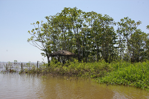

The Amazon © Nao likuza
Vagabondish is reader-supported. When you buy through links on our site, we may earn a small affiliate commission. Read our disclosure.
Tired of getting lost on your way to parties in the Amazon? Always turning left at the cow-devouring piranhas when you meant to turn right? Now you’ll have nothing to worry about next time you’re navigating the world’s second longest river, since Google is bringing its famous street view technology to the region. From the official Google blog, via Matador:
We’ll pedal the Street View trike along the narrow dirt paths of the Amazon villages and maneuver it up close to where civilization meets the rainforest. We’ll also mount it onto a boat to take photographs as the boat floats down the river. The tripod””which is the same system we use to capture imagery of business interiors””will also be used to give you a sense of what it’s like to live and work in places such as an Amazonian community center and school.
Just another excuse for Amazonian husbands not to stop to ask for directions. (ba-dum-bum)